
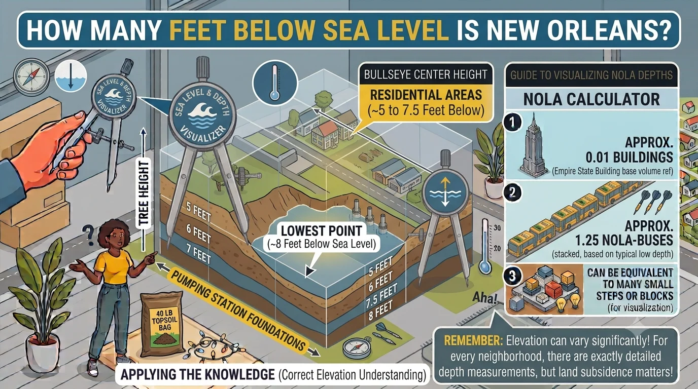
New Orleans is one of the most unique cities in the United States, known for its vibrant culture, historic architecture, world-famous cuisine, and annual Mardi Gras celebrations. However, another fact often surprises visitors: much of New Orleans sits below sea level. If you’ve ever asked, how many feet below sea level is New Orleans, the short answer is that the city averages about 8 feet (2.4 meters) below sea level. However, the exact elevation varies from one neighborhood to another. Some areas are several feet above sea level, while others lie as much as 10 to 15 feet below sea level.
This unusual geography has shaped the city’s history, infrastructure, economy, and disaster preparedness. Understanding why New Orleans is below sea level helps explain why it depends on an extensive system of levees, drainage canals, floodwalls, and powerful pumps to protect millions of residents from flooding. In this guide, we’ll explore the city’s elevation, why it continues to sink, how flood protection works, and what makes New Orleans one of the world’s most fascinating engineering challenges.
What Is the Average Elevation of New Orleans?
Although many people believe the entire city is below sea level, that isn’t entirely true. The average elevation of New Orleans is approximately 8 feet below sea level, but elevations differ significantly throughout the city.
Some neighborhoods near the Mississippi River sit above sea level because they were built on natural levees formed by centuries of river sediment deposits. Other neighborhoods, particularly those farther from the river, are considerably lower and more susceptible to flooding.
Here’s a quick overview:
| Location | Approximate Elevation |
|---|---|
| Average city elevation | 8 feet below sea level |
| Lowest neighborhoods | 10–15 feet below sea level |
| French Quarter | Around 5 feet above sea level |
| Garden District | Slightly above sea level |
| Mississippi River levees | Higher than surrounding neighborhoods |
These differences in elevation explain why certain parts of the city experience greater flood risks than others.
Why Is New Orleans Below Sea Level?
The answer lies in the city’s location and geology.
New Orleans sits on the Mississippi River Delta, where thousands of years of river deposits created soft layers of mud, clay, and organic material. Unlike solid bedrock, these sediments naturally compress over time.
Several factors contribute to the city’s below-sea-level elevation:
- Natural land subsidence
- Draining wetlands for development
- Construction of levees that prevent fresh sediment from replenishing the land
- Soil compaction
- Rising sea levels caused by climate change
Together, these processes have gradually lowered the land while surrounding water levels have remained constant or increased.
What Is Land Subsidence?
Land subsidence is the gradual sinking of the Earth’s surface.
In New Orleans, subsidence occurs because the soft soils beneath the city slowly compress. Organic material decomposes, groundwater levels change, and the weight of buildings and infrastructure adds pressure to already unstable ground.
Scientists estimate that some areas continue to sink by small amounts each year. While the changes may seem minor annually, they become significant over decades.
Why Doesn’t New Orleans Stay Flooded?
One of the biggest questions people ask is how a city below sea level remains habitable.
The answer is engineering.
New Orleans relies on one of the world’s largest flood protection systems. This network includes:
- Massive earthen levees
- Reinforced concrete floodwalls
- Drainage canals
- Storm surge barriers
- More than 100 pumping stations
During rainfall, pumps quickly remove water from streets and neighborhoods and send it into canals before releasing it into nearby lakes or waterways.
Without these pumps operating continuously, much of the city would flood after heavy rain.
How Do Levees Protect the City?
Levees are raised embankments designed to keep water from entering low-lying land.
Around New Orleans, levees serve two primary purposes:
- Prevent flooding from the Mississippi River.
- Block storm surges from nearby lakes and the Gulf of Mexico.
Modern levees are built using layers of earth, clay, concrete, and steel reinforcement. They are regularly inspected and upgraded to improve safety.
The Importance of Pumping Stations
Unlike many cities where rainwater naturally flows downhill into rivers, New Orleans requires mechanical assistance.
Powerful pumping stations operate throughout the city to remove millions of gallons of water after storms.
These pumps work around the clock during heavy rainfall, helping prevent widespread flooding.
Without this sophisticated drainage system, everyday rainstorms could create major flooding problems.
Which Parts of New Orleans Are Above Sea Level?
Several historic neighborhoods sit on naturally higher ground.
These include:
- French Quarter
- Garden District
- Uptown
- Areas adjacent to the Mississippi River
These locations became some of the city’s earliest settlements because they experienced less flooding than lower surrounding areas.
Today, these neighborhoods remain among the city’s highest elevations.
Hurricane Katrina and New Orleans
No discussion about New Orleans’ elevation is complete without mentioning Hurricane Katrina.
In August 2005, Hurricane Katrina generated a massive storm surge that overwhelmed portions of the levee system.
The consequences were devastating:
- Around 80% of the city flooded.
- Some neighborhoods were submerged beneath more than 10 feet of water.
- Hundreds of thousands of residents evacuated.
- Critical infrastructure suffered extensive damage.
The disaster exposed weaknesses in the flood protection system and led to billions of dollars in improvements.
Improvements After Hurricane Katrina
Following Katrina, engineers and government agencies invested heavily in strengthening flood defenses.
Major upgrades included:
- Stronger levees
- Taller floodwalls
- Improved pumping stations
- New storm surge barriers
- Better emergency response planning
Today, New Orleans has one of the world’s most advanced urban flood protection systems.
While no system offers complete protection against extreme weather, these improvements have significantly reduced flood risks.
How Climate Change Affects New Orleans
Climate change presents new challenges for cities located near sea level.
In New Orleans, rising sea levels increase flood risks by allowing storm surges to travel farther inland.
Other concerns include:
- Stronger hurricanes
- More intense rainfall
- Faster coastal erosion
- Loss of wetlands
- Increased saltwater intrusion
Scientists continue studying these changes to improve long-term flood management strategies.
Why Wetlands Matter
Wetlands surrounding New Orleans provide natural protection against flooding.
Healthy wetlands:
- Absorb storm surge energy
- Reduce coastal erosion
- Filter water
- Support wildlife habitats
Unfortunately, Louisiana has lost thousands of square miles of wetlands over the past century due to erosion, development, and changing river flows.
Wetland restoration has become an important part of protecting the city.
Comparing New Orleans to Other Low-Elevation Cities
New Orleans isn’t the only city below sea level.
Several major cities face similar challenges.
| City | Elevation |
|---|---|
| New Orleans | Average 8 feet below sea level |
| Amsterdam | Parts below sea level |
| Rotterdam | Large areas below sea level |
| Venice | Near sea level |
| Miami | Mostly above sea level but vulnerable to sea level rise |
Unlike European cities, New Orleans must also prepare for powerful Atlantic hurricanes.
Everyday Life Below Sea Level
Most visitors never realize they’re standing below sea level.
Roads, buildings, and levees create the appearance of a flat city.
Residents rely on sophisticated engineering systems that quietly operate every day.
Modern technology allows businesses, schools, hospitals, and neighborhoods to function normally despite the city’s unusual geography.
Common Misconceptions
Several myths surround New Orleans.
Myth: The entire city is below sea level.
Reality: Some neighborhoods are actually above sea level.
Myth: New Orleans floods after every rainfall.
Reality: Pumping stations usually remove rainwater efficiently during normal storms.
Myth: Living below sea level is impossible.
Reality: Millions of people around the world live safely below sea level thanks to modern engineering.
Practical Uses of Understanding Elevation
Knowing New Orleans’ elevation is useful for:
- Travelers planning visits during hurricane season
- Homebuyers researching flood risks
- Students studying geography
- Engineers designing flood protection systems
- Emergency planners preparing evacuation strategies
Understanding elevation also helps explain why flood insurance plays such an important role in the city.
Expert Tips for Visitors
If you’re visiting New Orleans:
- Monitor weather forecasts during hurricane season.
- Learn basic evacuation routes if staying for an extended period.
- Wear waterproof footwear during heavy rain.
- Explore the historic French Quarter, one of the city’s higher-elevation neighborhoods.
- Understand that localized street flooding can occur even when major flooding does not.
Final Thoughts
If you’re wondering how many feet below sea level is New Orleans, the average answer is about 8 feet below sea level, although elevations vary widely across the city. Some neighborhoods are above sea level, while others sit as much as 15 feet below it. This unique geography has shaped New Orleans’ history, economy, architecture, and infrastructure for centuries.
Despite its low elevation, New Orleans remains one of America’s most resilient cities. Through advanced levees, powerful pumping stations, drainage canals, and ongoing engineering improvements, the city continues to protect its residents while preserving its rich culture and heritage. As climate change and land subsidence continue to present new challenges, New Orleans serves as a remarkable example of how innovation and determination can help communities thrive in even the most demanding environments.